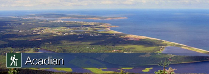
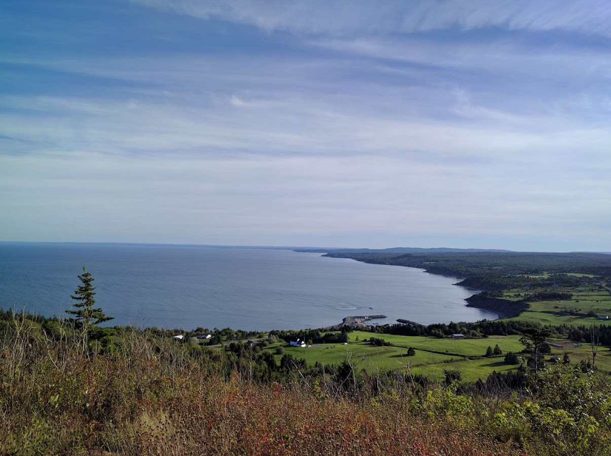
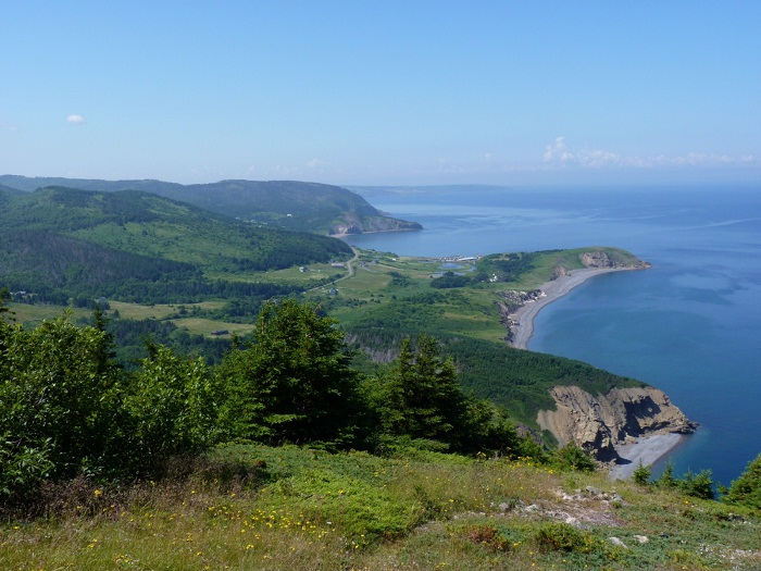
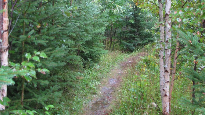
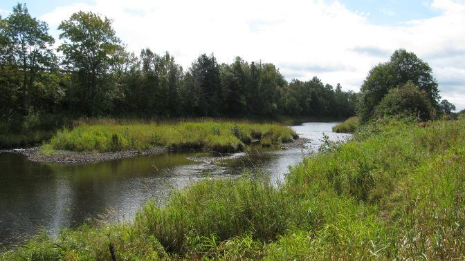
Climb 365 metres above the Chéticamp River for panoramic views of the Acadian coastline, the Chéticamp river valley and the park's highland interior. Benches along the way let you rest periodically and enjoy the scenery. Watch how the forest changes as you climb steadily to the top and be on the look-out for black bear and moose.
Significant Features: Ocean and mountain scenery Length: 8.4 km (5.2 mi) loop Hiking Time: 3 - 4 hours Elevation: 20 - 365 m (65 - 1200 ft.) For your comfort and safety: - Do not approach, disturb or feed wild animals. - Take along appropriate clothing - rapid weather changes often occur on the plateau or along the coast. - Carry water with you, especially for longer trails, climbs or open barrens. - Bring insect repellent as black flies and mosquitoes are common all summer. - Mountain bikes are permitted only where indicated, for public safety and protection of the environment. - Stay on boardwalks to protect fragile vegetation. - Do not throw food or scraps along the trails or roads. - Read "Keep it Wild, Keep it Safe" brochure, available at park visitor centres.
Acadian Trail
Climb 365 metres above the Chéticamp River for panoramic views of the Acadian coastline, the Chéticamp river valley and the park's highland interior. Benches along the way let you rest periodically and enjoy the scenery. Watch how the forest changes as you climb steadily to the top and be on the look-out for black bear and moose.
Significant Features: Ocean and mountain scenery Length: 8.4 km (5.2 mi) loop Hiking Time: 3 - 4 hours Elevation: 20 - 365 m (65 - 1200 ft.) For your comfort and safety: - Do not approach, disturb or feed wild animals. - Take along appropriate clothing - rapid weather changes often occur on the plateau or along the coast. - Carry water with you, especially for longer trails, climbs or open barrens. - Bring insect repellent as black flies and mosquitoes are common all summer. - Mountain bikes are permitted only where indicated, for public safety and protection of the environment. - Stay on boardwalks to protect fragile vegetation. - Do not throw food or scraps along the trails or roads. - Read "Keep it Wild, Keep it Safe" brochure, available at park visitor centres.
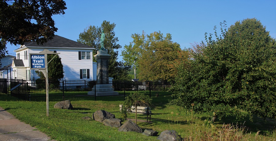
Albion Trail is a beautiful trail that follows the East River beginning at the Bridge Avenue and connects to the Samson Trail in nearby New Glasgow. Interpretive panels are displayed along the trail, highlighting various landmarks that relate to the mining history of the area.
Albion Trail
Albion Trail is a beautiful trail that follows the East River beginning at the Bridge Avenue and connects to the Samson Trail in nearby New Glasgow. Interpretive panels are displayed along the trail, highlighting various landmarks that relate to the mining history of the area.
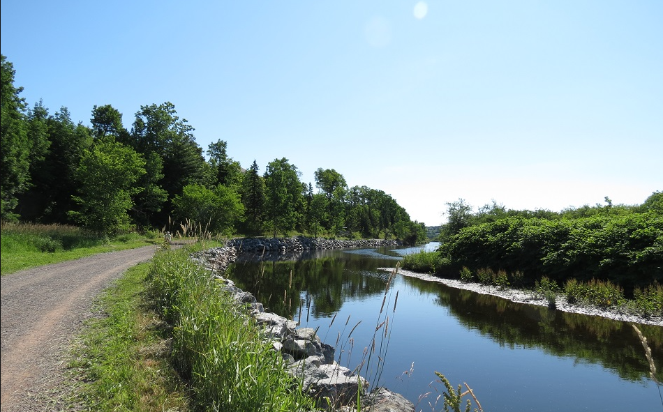
The Antigonish Landing trail offers pleasant views of farmland and hills across the waterway. A new subdivision was built alongside the trail, which still has many forested areas intact. At the end of the trail it may save some time to head back along the highway, but it is not recommended since there are not continuous sidewalks.
Antigonish Landing Trail
The Antigonish Landing trail offers pleasant views of farmland and hills across the waterway. A new subdivision was built alongside the trail, which still has many forested areas intact. At the end of the trail it may save some time to head back along the highway, but it is not recommended since there are not continuous sidewalks.
The Barrington Bay is one of the most scenic trails throughout the Municipality. The trail borders the Barrington Bay, with beautiful views of the Atlantic Ocean all along the trail. There are rest stops along the route marked by benches. The trail has an access point across the road from the Horizon Motel & Chalets, where there is ample parking. It is approximately 1.5 km long and goes to Highway 330 (The Cape Sable Island Causeway) where there is ample parking, as well as numerous restaurants and stores. It also has access points at Mahaney’s Lane, Wilson Lane and Station Road, which have limited parking and are several hundred meters apart. There is interpretive signage along the trail with more information about the trail and the area.
Barrington Bay Trail
The Barrington Bay is one of the most scenic trails throughout the Municipality. The trail borders the Barrington Bay, with beautiful views of the Atlantic Ocean all along the trail. There are rest stops along the route marked by benches. The trail has an access point across the road from the Horizon Motel & Chalets, where there is ample parking. It is approximately 1.5 km long and goes to Highway 330 (The Cape Sable Island Causeway) where there is ample parking, as well as numerous restaurants and stores. It also has access points at Mahaney’s Lane, Wilson Lane and Station Road, which have limited parking and are several hundred meters apart. There is interpretive signage along the trail with more information about the trail and the area.
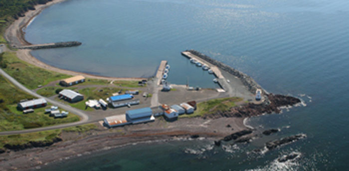
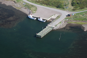
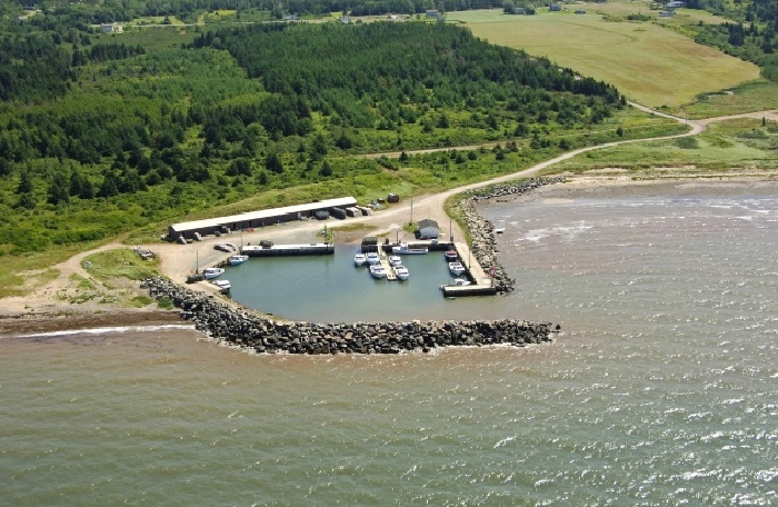
The Harbour Authority of Bayfield was incorporated in April 1998. The harbour is situated within St. Georges Bay, which opens to the Gulf of St. Lawrence. The Harbour Authority of Bayfield is responsible for managing, operating and maintaining a public fishing harbour located in the community of Bayfield, Antigonish County, Nova Scotia through a lease agreement with Small Craft Harbours (SCH), a branch of Fisheries & Oceans Canada (DFO). Our Harbour Authority is incorporated federally as a non-profit corporation and is managed by a volunteer board of directors. Our locally controlled organization and volunteer members have strong ties to the community and the local fishing industry. As a vital component of the SCH program, HAs are an efficient way of offering services, strengthening public investment and providing opportunities for communities to participate fully in the planning, operation and maintenance of harbour facilities. The Harbour Authority of Bayfield is essential to the social and economic life of our community of Bayfield.
For information regarding Harbour Authority Building rental, contact Jennifer Nunn at 902-386-2622 or 902-338-2622.
Bayfield Wharf
The Harbour Authority of Bayfield was incorporated in April 1998. The harbour is situated within St. Georges Bay, which opens to the Gulf of St. Lawrence. The Harbour Authority of Bayfield is responsible for managing, operating and maintaining a public fishing harbour located in the community of Bayfield, Antigonish County, Nova Scotia through a lease agreement with Small Craft Harbours (SCH), a branch of Fisheries & Oceans Canada (DFO). Our Harbour Authority is incorporated federally as a non-profit corporation and is managed by a volunteer board of directors. Our locally controlled organization and volunteer members have strong ties to the community and the local fishing industry. As a vital component of the SCH program, HAs are an efficient way of offering services, strengthening public investment and providing opportunities for communities to participate fully in the planning, operation and maintenance of harbour facilities. The Harbour Authority of Bayfield is essential to the social and economic life of our community of Bayfield.
For information regarding Harbour Authority Building rental, contact Jennifer Nunn at 902-386-2622 or 902-338-2622.
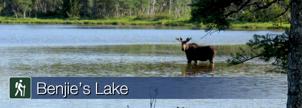
On the plateau at the top of the mountain, this trail crosses wet barrens and evergreen forests typical of the highlands, ending at a small lake. Boardwalks in some sections keep you dry and protect the habitat from trampling. Moose are frequently seen as well as a variety of northern birds.
Length:3 km (1.9 mi) return Elevation: 400 m (1,315 ft) Significant Features: Boreal highland forest For your comfort and safety: - Do not approach, disturb or feed wild animals. - Take along appropriate clothing - rapid weather changes often occur on the plateau or along the coast. - Carry water with you, especially for longer trails, climbs or open barrens. - Bring insect repellent as black flies and mosquitoes are common all summer. - Mountain bikes are permitted only where indicated, for public safety and protection of the environment. - Stay on boardwalks to protect fragile vegetation. - Do not throw food or scraps along the trails or roads. - Read "Keep it Wild, Keep it Safe" brochure, available at park visitor centres.
Benjie's Lake Trail
On the plateau at the top of the mountain, this trail crosses wet barrens and evergreen forests typical of the highlands, ending at a small lake. Boardwalks in some sections keep you dry and protect the habitat from trampling. Moose are frequently seen as well as a variety of northern birds.
Length:3 km (1.9 mi) return Elevation: 400 m (1,315 ft) Significant Features: Boreal highland forest For your comfort and safety: - Do not approach, disturb or feed wild animals. - Take along appropriate clothing - rapid weather changes often occur on the plateau or along the coast. - Carry water with you, especially for longer trails, climbs or open barrens. - Bring insect repellent as black flies and mosquitoes are common all summer. - Mountain bikes are permitted only where indicated, for public safety and protection of the environment. - Stay on boardwalks to protect fragile vegetation. - Do not throw food or scraps along the trails or roads. - Read "Keep it Wild, Keep it Safe" brochure, available at park visitor centres.
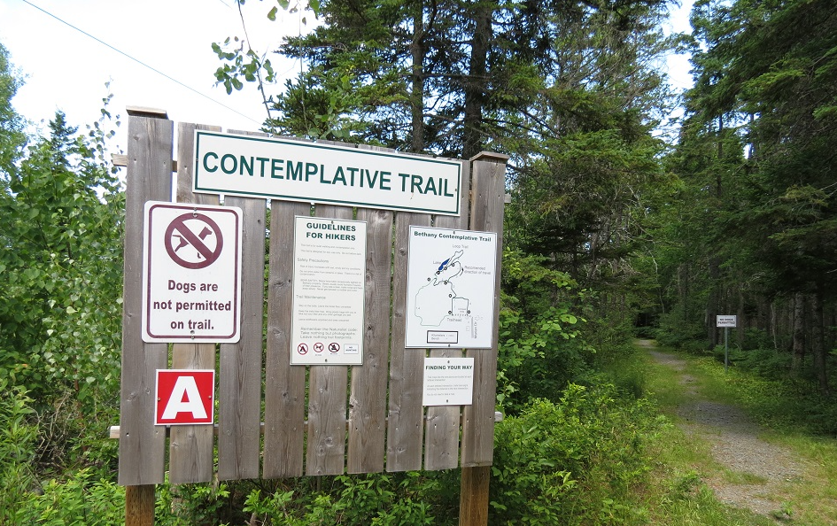
The trail opens up the heart of the wooded area and is home to many plants, animals and birds, cradling a lake in the center. Benches along the way are an invitation to sit and marvel. The purpose of this trail is to invite people into stillness and to touch the sacred within and around them. The garden invites us to enjoy the delight of a pond (home to fish and frogs), flowerbeds, trees and very friendly squirrels and chickadees. Our Labyrinth is located at the front of Bethany property. It is seasonal as it is mown into the grass. It will be available as early in June as weather permits until the end of October.
Bethany Contemplative Trail
The trail opens up the heart of the wooded area and is home to many plants, animals and birds, cradling a lake in the center. Benches along the way are an invitation to sit and marvel. The purpose of this trail is to invite people into stillness and to touch the sacred within and around them. The garden invites us to enjoy the delight of a pond (home to fish and frogs), flowerbeds, trees and very friendly squirrels and chickadees. Our Labyrinth is located at the front of Bethany property. It is seasonal as it is mown into the grass. It will be available as early in June as weather permits until the end of October.
The Black Brook Falls Trail descends to the base of the falls which is short with a beautiful over story of old growth hemlock. There is a rope to help people down the steep embankment.
Black Brook Falls Trail
The Black Brook Falls Trail descends to the base of the falls which is short with a beautiful over story of old growth hemlock. There is a rope to help people down the steep embankment.
The We'koqma'q Blue Way is a 350 km water route and official paddling section of the Trans Canada Trail. This water route circles the beautiful Bras d'Or Lakes in Cape Breton. The main entrance is located on the Skye River in We'koqma'q First Nation. If you want to explore the Bras d'Or by canoe or kayak, this is the perfect launching point.
Blue Way Water Route
The We'koqma'q Blue Way is a 350 km water route and official paddling section of the Trans Canada Trail. This water route circles the beautiful Bras d'Or Lakes in Cape Breton. The main entrance is located on the Skye River in We'koqma'q First Nation. If you want to explore the Bras d'Or by canoe or kayak, this is the perfect launching point.
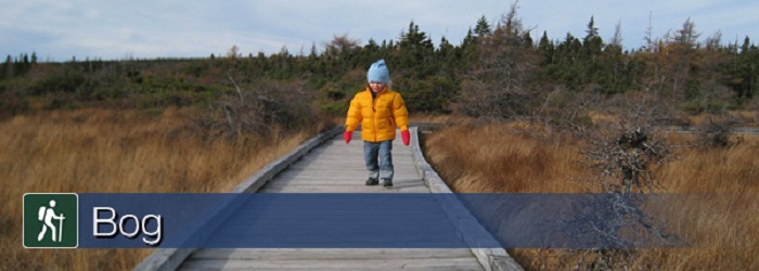
In keeping with Parks Canada's mandate to protect the natural environment, a boardwalk keeps your feet dry as you walk while preventing you from trampling the fragile life in this highland plateau bog. A self guiding trail, signs explain life here – pitcher plants, delicate orchids, colourful dragonflies, green frogs and gigantic moose.
Length: 0.5 km (0.3 mi) loop Elevation: 410 m (1,345 ft) Significant Features: Boreal and taiga forest, highland bog For your comfort and safety: - Do not approach, disturb or feed wild animals. - Take along appropriate clothing - rapid weather changes often occur on the plateau or along the coast. - Carry water with you, especially for longer trails, climbs or open barrens. - Bring insect repellent as black flies and mosquitoes are common all summer. - Mountain bikes are permitted only where indicated, for public safety and protection of the environment. - Stay on boardwalks to protect fragile vegetation. - Do not throw food or scraps along the trails or roads. - Read "Keep it Wild, Keep it Safe" brochure, available at park visitor centres.
Bog Trail
In keeping with Parks Canada's mandate to protect the natural environment, a boardwalk keeps your feet dry as you walk while preventing you from trampling the fragile life in this highland plateau bog. A self guiding trail, signs explain life here – pitcher plants, delicate orchids, colourful dragonflies, green frogs and gigantic moose.
Length: 0.5 km (0.3 mi) loop Elevation: 410 m (1,345 ft) Significant Features: Boreal and taiga forest, highland bog For your comfort and safety: - Do not approach, disturb or feed wild animals. - Take along appropriate clothing - rapid weather changes often occur on the plateau or along the coast. - Carry water with you, especially for longer trails, climbs or open barrens. - Bring insect repellent as black flies and mosquitoes are common all summer. - Mountain bikes are permitted only where indicated, for public safety and protection of the environment. - Stay on boardwalks to protect fragile vegetation. - Do not throw food or scraps along the trails or roads. - Read "Keep it Wild, Keep it Safe" brochure, available at park visitor centres.
The Cape George walking trail contains a series of loops, all varying in length and difficulty for a total of 33 kilometers. There are beautiful views of the coastline, meadows, old growth forests and cliffs. There are 3 serviced trail-heads: the School Heritage Museum, Lighthouse, and the Tuna Interpretive Centre. Cape George Day Park overlooks St George’s Bay in the Northumberland Shore region. The park offers a short walking trail, picnic tables and public washrooms. The beautiful lighthouse and stunning view make this park a serene place to enjoy the majesty of the open ocean, and the uniqueness of the North Shore. It is also a prime spot for photographers! The Cape George Hiking Trails Association are a group of volunteers who maintain the trails. For updates on events or if you would like to get involved, check out their Website and Facebook Page.
Cape George Hiking Trails & Day Park
The Cape George walking trail contains a series of loops, all varying in length and difficulty for a total of 33 kilometers. There are beautiful views of the coastline, meadows, old growth forests and cliffs. There are 3 serviced trail-heads: the School Heritage Museum, Lighthouse, and the Tuna Interpretive Centre. Cape George Day Park overlooks St George’s Bay in the Northumberland Shore region. The park offers a short walking trail, picnic tables and public washrooms. The beautiful lighthouse and stunning view make this park a serene place to enjoy the majesty of the open ocean, and the uniqueness of the North Shore. It is also a prime spot for photographers! The Cape George Hiking Trails Association are a group of volunteers who maintain the trails. For updates on events or if you would like to get involved, check out their Website and Facebook Page.
There are 3 trailheads: Mabou Mines - most accessible and popular Sight Point - not always accessible Cape Mabou - near the windmill
Trails are open year round but hiking should be restricted to May-Nov. Given the large area and type of terrain, trail maintenance is not assured on all trails. Maps are available for $5 in Mabou and a few other places, including the Inverness County Recreation Department. We rely almost exclusively on private donations. The trails are maintained by the volunteer group, Cape Mabou Trail Club.
Cape Mabou Highlands Hiking Trails
There are 3 trailheads: Mabou Mines - most accessible and popular Sight Point - not always accessible Cape Mabou - near the windmill
Trails are open year round but hiking should be restricted to May-Nov. Given the large area and type of terrain, trail maintenance is not assured on all trails. Maps are available for $5 in Mabou and a few other places, including the Inverness County Recreation Department. We rely almost exclusively on private donations. The trails are maintained by the volunteer group, Cape Mabou Trail Club.
"Take the ""high road"" between Millsville and Scotsburn on the Fitzpatrick Mountain Trail where walkers with a keen sense of adventure will be rewarded by scenery that is well worth the effort. From the summit (about 275 metres above sea level) there is an excellent view of the surrounding countryside and at the Smith Rock Chalets (about 225 metres above sea level) there is a panoramic view of the Northumberland Strait and Prince Edward Island. Expect to find remains of the past on this historic trail that passes through the over-grown homesteads of our ancestors.
Cape to Cape Trail, Fitzpatrick Mountain Trail
"Take the ""high road"" between Millsville and Scotsburn on the Fitzpatrick Mountain Trail where walkers with a keen sense of adventure will be rewarded by scenery that is well worth the effort. From the summit (about 275 metres above sea level) there is an excellent view of the surrounding countryside and at the Smith Rock Chalets (about 225 metres above sea level) there is a panoramic view of the Northumberland Strait and Prince Edward Island. Expect to find remains of the past on this historic trail that passes through the over-grown homesteads of our ancestors.
Voyage through shady forests, open fields, along tranquil brooks on the Rogers Hill Trail and discover the village of Scotsburn, where the recipe for ice cream was perfected, and in Durham, where the farmers have an unrivaled reputation for growing delicious strawberries.
Cape to Cape Trail, Rogers Hill Trail
Voyage through shady forests, open fields, along tranquil brooks on the Rogers Hill Trail and discover the village of Scotsburn, where the recipe for ice cream was perfected, and in Durham, where the farmers have an unrivaled reputation for growing delicious strawberries.
Caribou-Munroes Island is a mile long sandy beach offering some of the warmest saltwater swimming in all of Canada! It’s one of the best places in the region to catch the sunset as it falls into the Northumberland Strait. The campground provides excellent opportunities for camping, or just appreciating nature. Attractions include an open picnic area, a white-sand beach, warm saltwater swimming, woods and 95 overnight campground sites. Caution: Keep an eye on the tide if you plan to walk all the way around the point. At higher tides, parts of the shoreline hike are impassable.
Caribou/Munroes Island Provincial Park Beach & Shoreline Hike
Caribou-Munroes Island is a mile long sandy beach offering some of the warmest saltwater swimming in all of Canada! It’s one of the best places in the region to catch the sunset as it falls into the Northumberland Strait. The campground provides excellent opportunities for camping, or just appreciating nature. Attractions include an open picnic area, a white-sand beach, warm saltwater swimming, woods and 95 overnight campground sites. Caution: Keep an eye on the tide if you plan to walk all the way around the point. At higher tides, parts of the shoreline hike are impassable.
The Celtic Shores Coastal Trail is a 92-km (57 mi) multi-use trail stretching from Port Hastings to the Town of Inverness on the west coast of the spectacular Cape Breton Island, that combines outdoor recreation, local history and culture!
Great for off-road cycling or long distance trekking, the flat trail meanders along the coastline, through picturesque wilderness, skirts streams, and connects several communities and attractions. Along the way you will find active fishing harbours, warm-water beaches in Port Hood, West Mabou, and Inverness, the Celtic Music Interpretive Centre in Judique along with five other museums, and many local establishment serving the very best of cuisine. All of this is complimented with a variety of accommodations, restaurants, places to shop, some of the best live Celtic music on the island and a unique living Gaelic culture.
Along the trail you find community kiosks and interpretive panels that will provide you with a glimpse of local history and culture. This trail is part of the Trans Canada Trail and the International Appalachian Trail.
Trailsheads: There are over thirty trailheads and access points along the trail. For location and GPS coordinates visit Celtic Shores Coastal Trail website Surface: Unpaved but smooth and hard-packed for most of the trail. Upgrading is done early, for information on becoming a volunteer with the trail association, connect with one in your local area:
Ceilidh Trail Association: Canso Canal to Chisholm's Brook, Long Point Judique Flyer Trail Association: Chisholm's Brook, Long Point to Little Judique Harbour Chestico Trail Association: Little Judique Harbour to Zupthen Farm SW Mabou River Mabou Rivers Trail Association: Zupthen Farm SW Mabou to Blackstone Inverness Shean Trails Association: Blackstone to Inverness
Cycling Speed: 20 km/hr (12 miles/hr) Hybrid or mountain bikes are best suited for this trail. Other uses include hiking, snowmobiling, cross country skiing, ATVing, equestrian & geocaching.
Some highlights from along the trail: - Beautiful & welcoming communities - Provincial Visitor Information Centres (open seasonally May - October) - Scenic ocean views - Wildlife including a vast array of coastal birds, majestic bald eagles and the occasional pilot whale pops up to take a peek! - Community gardens - Ice Cream Shops - Venues showcasing our island's heritage through song, dance, and spoken word! - Museums that make our culture and history come alive
The trail is alive with Celtic experiences in villages along the route through festivals, concerts, square dances and Ceilidh’s, a Gaelic term for a party or gathering. Plan a trip on the Celtic Shores Coastal Trail and experience the ride of your life!
Celtic Shores Coastal Trail
The Celtic Shores Coastal Trail is a 92-km (57 mi) multi-use trail stretching from Port Hastings to the Town of Inverness on the west coast of the spectacular Cape Breton Island, that combines outdoor recreation, local history and culture!
Great for off-road cycling or long distance trekking, the flat trail meanders along the coastline, through picturesque wilderness, skirts streams, and connects several communities and attractions. Along the way you will find active fishing harbours, warm-water beaches in Port Hood, West Mabou, and Inverness, the Celtic Music Interpretive Centre in Judique along with five other museums, and many local establishment serving the very best of cuisine. All of this is complimented with a variety of accommodations, restaurants, places to shop, some of the best live Celtic music on the island and a unique living Gaelic culture.
Along the trail you find community kiosks and interpretive panels that will provide you with a glimpse of local history and culture. This trail is part of the Trans Canada Trail and the International Appalachian Trail.
Trailsheads: There are over thirty trailheads and access points along the trail. For location and GPS coordinates visit Celtic Shores Coastal Trail website Surface: Unpaved but smooth and hard-packed for most of the trail. Upgrading is done early, for information on becoming a volunteer with the trail association, connect with one in your local area:
Ceilidh Trail Association: Canso Canal to Chisholm's Brook, Long Point Judique Flyer Trail Association: Chisholm's Brook, Long Point to Little Judique Harbour Chestico Trail Association: Little Judique Harbour to Zupthen Farm SW Mabou River Mabou Rivers Trail Association: Zupthen Farm SW Mabou to Blackstone Inverness Shean Trails Association: Blackstone to Inverness
Cycling Speed: 20 km/hr (12 miles/hr) Hybrid or mountain bikes are best suited for this trail. Other uses include hiking, snowmobiling, cross country skiing, ATVing, equestrian & geocaching.
Some highlights from along the trail: - Beautiful & welcoming communities - Provincial Visitor Information Centres (open seasonally May - October) - Scenic ocean views - Wildlife including a vast array of coastal birds, majestic bald eagles and the occasional pilot whale pops up to take a peek! - Community gardens - Ice Cream Shops - Venues showcasing our island's heritage through song, dance, and spoken word! - Museums that make our culture and history come alive
The trail is alive with Celtic experiences in villages along the route through festivals, concerts, square dances and Ceilidh’s, a Gaelic term for a party or gathering. Plan a trip on the Celtic Shores Coastal Trail and experience the ride of your life!
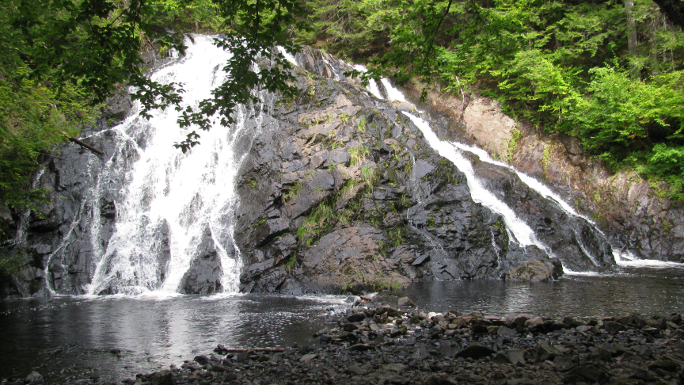
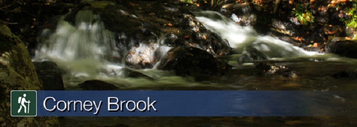
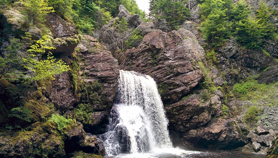
Follow a meandering brook through a hardwood forest to a small waterfall that marks the end of the trail. You are actually in a box river canyon – there is only one way out!
Keep a watch out for wildlife – a variety of birds, snowshoe hare or maybe even a moose.
Local Acadians know this brook as "Rivière à Lazare".
Length: 6.5 km (4 mi) return Elevation: 30 - 170 m (100 - 560 ft) Significant Features: Acadian forest river canyon, waterfall For your comfort and safety: - Do not approach, disturb or feed wild animals. - Take along appropriate clothing - rapid weather changes often occur on the plateau or along the coast. - Carry water with you, especially for longer trails, climbs or open barrens. - Bring insect repellent as black flies and mosquitoes are common all summer. - Mountain bikes are permitted only where indicated, for public safety and protection of the environment. - Stay on boardwalks to protect fragile vegetation. - Do not throw food or scraps along the trails or roads. - Read "Keep it Wild, Keep it Safe" brochure, available at park visitor centres.
Corney Brook Trail
Follow a meandering brook through a hardwood forest to a small waterfall that marks the end of the trail. You are actually in a box river canyon – there is only one way out!
Keep a watch out for wildlife – a variety of birds, snowshoe hare or maybe even a moose.
Local Acadians know this brook as "Rivière à Lazare".
Length: 6.5 km (4 mi) return Elevation: 30 - 170 m (100 - 560 ft) Significant Features: Acadian forest river canyon, waterfall For your comfort and safety: - Do not approach, disturb or feed wild animals. - Take along appropriate clothing - rapid weather changes often occur on the plateau or along the coast. - Carry water with you, especially for longer trails, climbs or open barrens. - Bring insect repellent as black flies and mosquitoes are common all summer. - Mountain bikes are permitted only where indicated, for public safety and protection of the environment. - Stay on boardwalks to protect fragile vegetation. - Do not throw food or scraps along the trails or roads. - Read "Keep it Wild, Keep it Safe" brochure, available at park visitor centres.
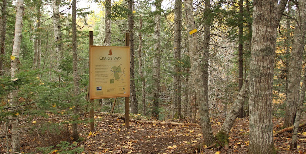
Craig’s Way is a footpath that embodies the deep ecological values of the Friends of Redtail Society and provides an opportunity for us, as humans, to deepen our relationship with nature. The setting is a naturally regenerating Acadian forest. You are invited to move through the footpath slowly and silently, to fully take in your surroundings, and to be respectful of other beings that live there. To keep human impact to a minimum and for safety, please stay on the trail. Allow about one and half hours to walk the trail at a relaxed pace. The terrain is challenging with steep hills, narrow ledges, and uneven and slippery surfaces underfoot. Please use caution; this is a wild place. Ensure you leave this place as unchanged as possible by your presence. Food or garbage discarded in this forest increases risk to humans and wildlife. Please take garbage with you when you leave.
Craigs Way foot path
Craig’s Way is a footpath that embodies the deep ecological values of the Friends of Redtail Society and provides an opportunity for us, as humans, to deepen our relationship with nature. The setting is a naturally regenerating Acadian forest. You are invited to move through the footpath slowly and silently, to fully take in your surroundings, and to be respectful of other beings that live there. To keep human impact to a minimum and for safety, please stay on the trail. Allow about one and half hours to walk the trail at a relaxed pace. The terrain is challenging with steep hills, narrow ledges, and uneven and slippery surfaces underfoot. Please use caution; this is a wild place. Ensure you leave this place as unchanged as possible by your presence. Food or garbage discarded in this forest increases risk to humans and wildlife. Please take garbage with you when you leave.
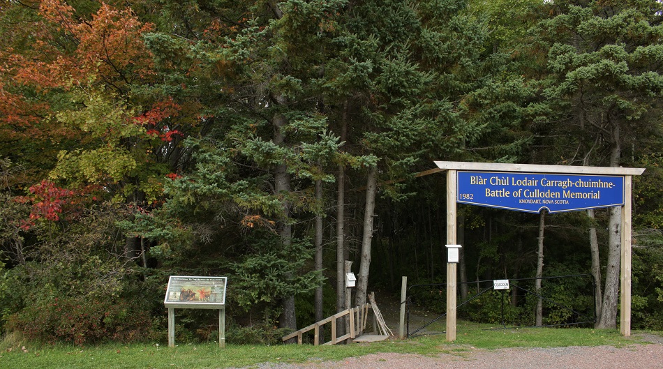
View the beautiful shore of the Northumberland Strait while walking along the Culloden Cairn Pathway, a memorial built in 1938 with a pioneer cemetary. Spring ceremonies take place in the month of April (weather permitting) but the pathway, cemetary and monument are open all year round. If you need a rest you can relax in the gazebo or on one of the benches.
Culloden Cairn Pathway
View the beautiful shore of the Northumberland Strait while walking along the Culloden Cairn Pathway, a memorial built in 1938 with a pioneer cemetary. Spring ceremonies take place in the month of April (weather permitting) but the pathway, cemetary and monument are open all year round. If you need a rest you can relax in the gazebo or on one of the benches.
The hike into the falls follows an old ATV trail and has not been in use by enthusiasts for several years. The canopy cover consists primarily of conifer species (spruce & balsam fir), but as you approach the falls the forest transitions to deciduous species (American beech & sugar maple). Before the stand transition occurs you must cross a stream approximately 3 meters wide. Once across the stream you will travel about another 70 meters before you meet up with the active ATV and snowmobile trail. This section of trail is well maintained, any windfall is cleaned up and the trail is marked with reflective tape. Once you are on the active ATV and snowmobile trail the falls is only a short distance away and you will hear the turbulent waters. There is another footpath approximately 30 meters long that branches off the main ATV/snowmobile trail. This trail is marked with flagging tape and takes you to the top of falls where there is a rope tied between the trees to assist your descent to the bottom.
Cuties Hollow Trail
The hike into the falls follows an old ATV trail and has not been in use by enthusiasts for several years. The canopy cover consists primarily of conifer species (spruce & balsam fir), but as you approach the falls the forest transitions to deciduous species (American beech & sugar maple). Before the stand transition occurs you must cross a stream approximately 3 meters wide. Once across the stream you will travel about another 70 meters before you meet up with the active ATV and snowmobile trail. This section of trail is well maintained, any windfall is cleaned up and the trail is marked with reflective tape. Once you are on the active ATV and snowmobile trail the falls is only a short distance away and you will hear the turbulent waters. There is another footpath approximately 30 meters long that branches off the main ATV/snowmobile trail. This trail is marked with flagging tape and takes you to the top of falls where there is a rope tied between the trees to assist your descent to the bottom.
You may notice a participant's age here is different from their "real" age. For many recreational activities your real age is used for eligibility, but most sport organizations register participants by birth year, so this number is calculated by subtracting your birth year from the current year. For example, if the year is 2025 and you were born in 2020, your "sport age" is 5 for the whole year.
DOB of Participant
Enter the participant's date of birth to only show Programs they are eligible for based on each organization's age requirements. Eligibility is determined using the organization's chosen age rule (Calendar Year, Age During Program, or Custom Date of Birth range) for each program. If you leave this field blank, all Programs are shown regardless of age eligibility.
Gender Filter
Select a gender to only show Programs that your participant is eligible for based on the organization's gender eligibility requirements. If a program has no gender restrictions, it will be shown for any selection. If you select "Any", all programs are shown regardless of gender eligibility.
Family Roles
“Adult (Primary Contact)” should be the main account manager – there must be one, and can only be one, per family.
“Adult (Secondary Contact)” should be the secondary account manager – this is optional, and can only be one, per family.
“Adult (Other)” can be any additional adults in the family that are included either for purposes of registration or to be included on family communications related to the children of the family. These adults do not have their own PlayFinder Account. Adults with their own sport hub account can be linked to a family using the Link Accounts feature.
“Child” is the role set for any dependent in the family. The Primary Contact is responsible for managing the registrations for children in the family.
Communities
Add a community here to opt-in to their newsletter and give them permission to access your information for support purposes. Any organization you register with will automatically add that community here. If the community is not listed below, click on the My Communities button, and add it to your list of communities.
Organizations
Add an organization here to opt-in to their newsletter and give them permission to access your information for support purposes. Any organization you register with will be automatically added here. If the organization is not listed below, click on the My Organizations button, and add it to your list of organizations.
Family Address
This will allow you to update the primary address for your family. This address will be used for all family members.
Family Address
You can link another family members PlayFinder account your family. This will allow them to be an adminstrator of your PlayFinder Profile.
Family Schedule
Here you will find your family’s schedule, including all programs, events, and activities. You can view the schedule by day, week, or month. You can also filter the schedule by family member or program type. Click on any event to view more details, including location and notes.
Family Calendar
The family calendar is a place to view all of your family members’ schedules in one place. This calendar is shared with all family members and can be accessed by anyone with a Playfinder account linked to your family.
Family News
This is where you will find all news items sent out by the organizations your family is involved with. Most recent at the top. A number in brackets on the news tab will indicate how many unread news items you have, example: (7).
Click on any news item to view more details, including the full article and any related documents.
Family Messages
Here you will find all system messages and direct messages from organizations. Most recent message at the top. A number in brackets on the messages tab will indicate how many unread messages you have, example: (7).
Registration Status
Pending = You have registered but have not been confirmed or contacted by the organization, you can remove or change your registration
Confirmed = You have been contacted by the organization, registration is confirmed, you must contact organization directly to withdraw, payment is due
Waitlist = You have been contacted by the organization and told the program is at capacity but you are on the waitlist should anyone withdraw
Cancelled = The program has been cancelled, if fees have already been paid, please contact the Organization for a refund
Quit = This member has notified the Organization that they will be no longer particpating in the program